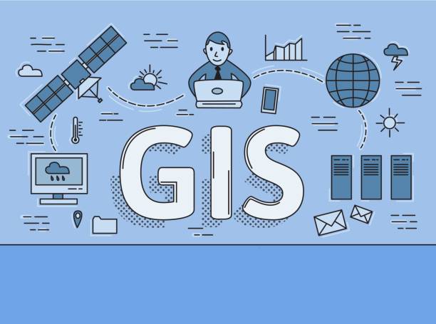
Auckland GIS (Geographic Information System) is a software platform that is used to manage and analyze geographic and spatial data for the city of Auckland, New Zealand. GIS is an essential tool for urban planning, resource management, environmental analysis, and a range of other applications that require the analysis of spatial data. The Auckland Council GIS is a digital mapping platform that provides comprehensive data and mapping services to support decision-making and planning in the Auckland region.
Related Post –
- Auckland Mayor
- Auckland Grammar School
- Auckland High Court
- Stamford Plaza Auckland
- Auckland Beaches
- Auckland Vaccination Rates
Auckland GIS
Auckland GIS enables users to integrate a wide range of spatial data sets, such as satellite imagery, maps, and surveys, and analyze them to extract valuable insights. The platform includes a range of powerful tools for spatial analysis, data visualization, and data management, making it an essential tool for decision-makers in the city of Auckland.
One of the main benefits of Auckland GIS is that it allows users to analyze complex data sets and visualize the results in a range of formats, such as maps, charts, and graphs. This makes it easier for decision-makers to understand complex relationships between different factors, such as land use patterns, transportation networks, and environmental conditions.
Auckland GIS is used by a range of stakeholders in the city, including local government agencies, urban planners, environmental organizations, and transportation companies. For example, urban planners can use the platform to analyze land use patterns and make informed decisions about zoning and development, while environmental organizations can use the platform to monitor changes in natural resources such as water quality and biodiversity.
In addition to providing valuable insights into geographic and spatial data, Auckland GIS is also an essential tool for emergency response and disaster management. For example, during natural disasters such as earthquakes or floods, the platform can be used to quickly assess the extent of damage and prioritize response efforts.
Auckland GIS also plays an important role in supporting sustainability initiatives in the city. By providing valuable data on land use patterns, transportation networks, and environmental conditions, the platform can help decision-makers to identify areas where sustainability initiatives such as public transport, renewable energy, and green infrastructure can be implemented.
The key benefits of Auckland GIS:
- Improved Planning: GIS provides valuable insights into geographic data, allowing for better planning and decision-making. By analyzing data on land use, demographics, transportation, and other factors, planners can make informed decisions that support sustainable growth and development.
- Enhanced Communication: GIS makes it easier to communicate complex information visually. Maps, charts, and other graphics can be used to convey information more clearly and effectively than text alone, helping to engage stakeholders and promote understanding.
- Improved Public Services: GIS helps government agencies provide more efficient and effective public services. For example, by analyzing data on traffic patterns and road conditions, transportation agencies can optimize routes and improve traffic flow.
- Better Emergency Response: GIS can be used to improve emergency response times and effectiveness. By mapping resources such as fire stations, hospitals, and police stations, emergency responders can quickly identify the nearest available resources and dispatch them to the scene.
- Increased Efficiency: GIS automates many tasks that were once done manually, reducing the time and cost required to perform them. For example, GIS can be used to automatically calculate the shortest route between two locations or to determine the optimal location for a new facility.
Auckland GeoMaps
Auckland GeoMaps are digital maps that display geographic and spatial data about the city of Auckland. These maps are created using geographic information system (GIS) software, which enables the integration and analysis of various spatial data sets, such as satellite imagery, aerial photography, survey data, and other sources of geographic information. Auckland GeoMaps are used by a range of stakeholders, including local government agencies, urban planners, environmental organizations, transportation companies, and others who require detailed information about the city’s geography, infrastructure, and environment. These maps provide valuable insights into various aspects of the city, enabling decision-makers to make informed decisions about urban planning, resource management, environmental sustainability, and disaster management.
Conclusion:
In Conclusion, Auckland GIS is a powerful tool for managing and analyzing geographic and spatial data in the city of Auckland. It enables decision-makers to gain valuable insights into complex data sets and make informed decisions about urban planning, resource management, and environmental sustainability. With the increasing availability of spatial data and the growing demand for data-driven decision-making, the importance of GIS is only likely to increase in the years to come.
